Friday, December 25, 2015

Colorado River: Corona Arch


October 20, 2015
Day 2

View from the island of Wall Street to the left and the Portal in the distance.
The next morning we awoke to the sound of traffic rushing up and down Potash Road, people driving to and from the potash plant. It rained the previous night, and yet, there were still crazy climbers attempting to scale the sandstone Wall Street. Deer and raccoon tracks were all over the island. We put in and then took out just before Gold Bar campground to hike to Corona Arch. At the trailhead, the wind picked up and it began to pour. We made a run for the campground and ducked under a pavilion with a group of people from Colorado. They were running a group for LA youth, in which they could hike at Arches, raft the river, or volunteer to clean up. One of the workers was a Hayduke and AT hiker, trail name "Aspen", who wants to hike the PCT, CDT, PNT, and the Te Araroa. She got plenty of insight from Freebird on all of those trails. She had an infectious laugh and smile and was a joy to be around. She was thrilled to be meeting fellow long-distance hikers as well. Lightning was striking all around us and flash flood waterfalls plunging in every direction. When the storm subsided, a rainbow appeared. We walked back to the trailhead and hiked to Corona and Bowtie Arches. At sunset we put in again and floated past the hundreds of teenagers who were now eating dinner. One of them wanted to toss a brownie to us but we were gone before he could. Around the bend we found a campsite on a mud flat which thankfully worked for the night but wasn't the wisest choice because we started to sink. The tent had to be moved once. It rained yet again all night. Throughout our sleep we could hear a beaver smacking his tail, trying to get us to leave. It could try as hard as it wanted to scare us, but we were staying put!

Pictures from that day:

Rain drops on the Explorer 300.


A climber attempting Wall Street after the rain.


Taking a nap.


Parking the rafts at a beach near Gold Bar.

Watching the storm from beneath a pavilion at Gold Bar campground.


Waterfalls everywhere!

Gold Bar campground as seen from the Corona Arch trail.
The historic railroad to Potash plant, once used for uranium mining.
Water still flowing from the flash flood across the trail.


Corona Arch.


Bowtie Arch.

Hundreds of rock cairns.

A waterfall still flowing near Potash Road, on our way back to the rafts.
Sunset float.


Thursday, December 24, 2015

Colorado River: Embarking on the Journey


October 19, 2015
Day 1

"We have an unknown distance yet to run, an unknown river to explore. What falls there are, we know not; what rocks beset the channel, we know not; what walls ride over the river, we know not. Ah, well! we may conjecture many things."
--John Wesley Powell

After hiking through the La Sals, Freebird was planning to raft down the Colorado. He had invited me along weeks or months ago but I had refused, doubting that I could take that much time off of work. But other friends that he had also invited along couldn't make it, so I began to consider it again. Two Explorer 300's (pool rafts fit for 3 people that are not recommended for rivers or lakes, according to the warning labels) that he had purchased were waiting to be used. The float would be from Moab to Spanish Bottom, about 60+ miles on flat water with one set of Class 3 rapids near the end. Freebird had done this same route over a year ago with friends, and I had heard all of the stories several times, making me want to raft the river all the more. I finally decided to ask my supervisor if it were even possible to take another week off of work. To my surprise she said yes, so long as I found coverage. It turns out another coworker was able to take my hours, and when I told my supervisor the news, she was actually excited for me! After working through the rest of that week, I was then given another week off.

Dinga and one of the life jackets.


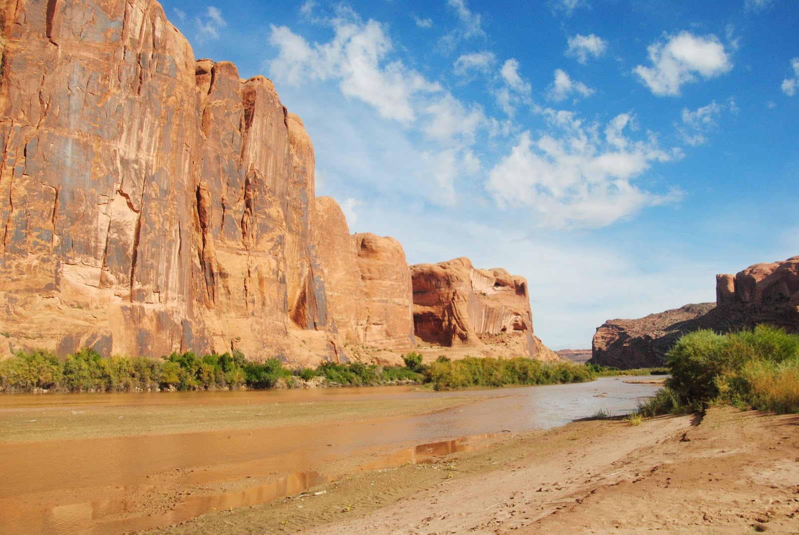
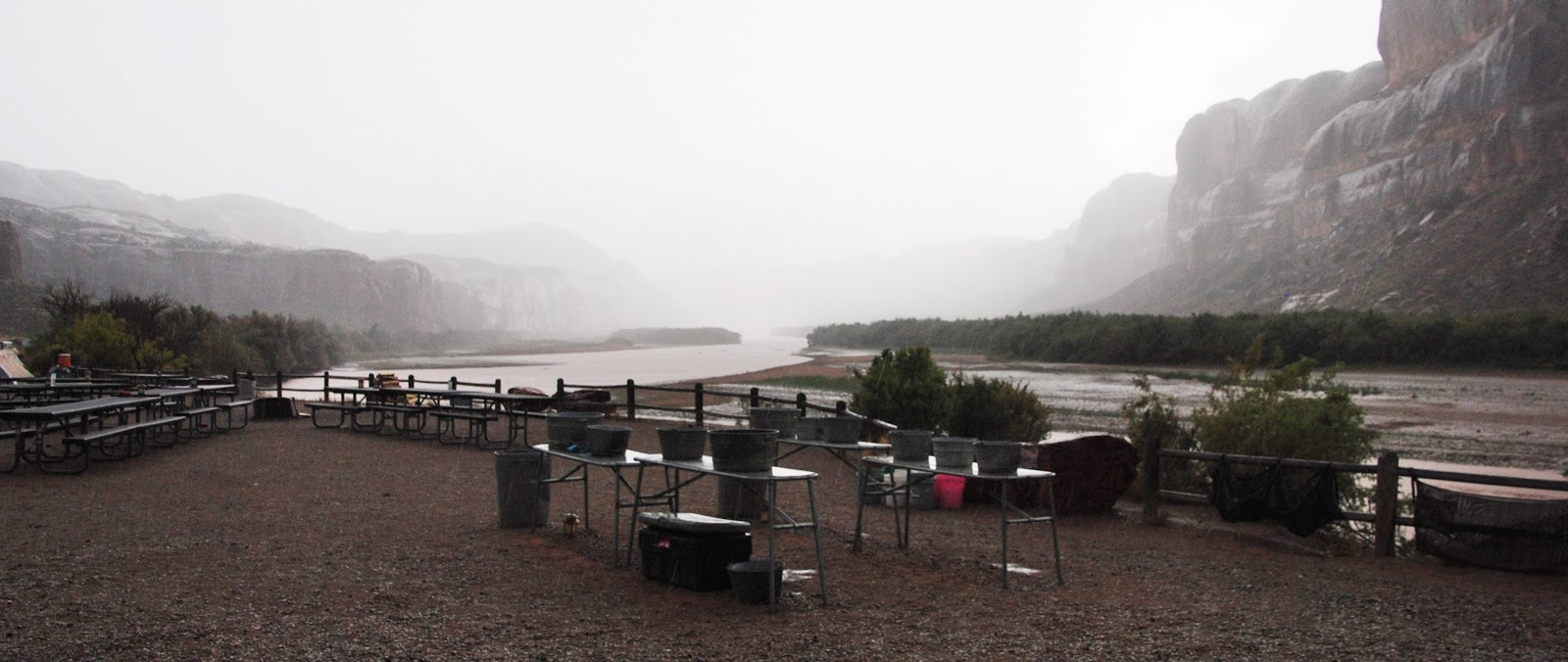
On the evening of the 19th, Pete drove us to the river. First we stopped at Matrimony Springs to fill up on water for the trip, about 4 gallons each. Then, at the boat ramp on the other side of the river, Pete helped us inflate the rafts and saw us off. Freebird helped me into the raft first with my water and pack, and then he loaded his raft and put in second. We floated under the pedestrian bridge, under 191, and then past Moab. A boat full of tourists launched and they looked concerned and worried for us sitting in these tiny rafts, until we smiled and waved, and then they took pictures of us. I was horrible with rowing at first. At one point I got swept around the other side of an island and felt the boat sliding and bouncing over the gravel! We had to be very careful not to pop these fragile rafts. I thought for sure I wouldn't make it past the first day. At least we still had roads nearby to get back to town if we needed to. In the days to come, I would thankfully get better at rowing. I met Freebird again past the island and we continued to lazily pass by Moab.  A rainbow stretched to the east over what would be our last view of the La Sals for the next week. A rainbow has often been considered a good sign and I took it to be a sign that I wouldn't sink the boat or die. Grebes swam past, curiously watching us as we entered the Portal as the sun was setting. Soon we reached a habitable island near Wall Street and camped there for the night.

And so it was that we set out in Explorer 300's, in explorer-like fashion, though not so much like John Wesley Powell and his crew had done. These days, hundreds and thousands have floated before us (even others in their own Explorer 300's!) and the river is well-mapped. Roads are beside part of our route, and even when they're not, we're in BLM or national park land, nearby trails which lead to other roads. But even yet, it was a very different experience from anything I've ever done, and the week would be more invigorating and fun than I had ever imagined!

Here's some pictures illustrating our first day:


Pete testing out my raft.

Putting in first.

Passing under the pedestrian bridge.


The contents of my raft.

Last view of the La Sals.


Entering the Portal.


One last view back at the Moab rim as the sun is setting.


Monday, December 21, 2015

La Sal Traverse: Road to Moab


October 12, 2015
Day 6

Castle Valley as seen from Kokopelli Trail.
After a full night's rest I still wasn't up for walking much, and so dropping into a canyon was out of the question. The La Sal Loop road wasn't far away and so we would hitch back to Moab from there. Freebird carried my pack while I used a stick to walk down the path. We were back in the desert at 8500' elevation and the sun and warmth felt wonderful. About 50+ mountain bikers raced past us that morning. Often we had to frantically jump out of the way with little warning of their approach. At the road Alan and Eileen stopped for us. Eileen left to bike with friends while Alan drove us down Kokopelli Trail, a 4WD road, to Sand Flats Road. He lent me a trekking pole to replace my walking stick, and then his three dogs - Rex, Keko, and Marlee - joyously played with the stick. What started as possibly a short hitch turned into an adventure with them for several hours. Alan stopped multiple times to hike while I relaxed in the sun or shade. We drove down Sand Flats Rd with incredible views of Burkholder Draw, Rill Canyon, Negro Bill Canyon, hoodoos, slot canyons, and other formations. KZMU was playing quite the eclectic selection as usual, and Alan seemed to know every artist. 

Rex.

The northern La Sals.

An old car along the Kokopelli Trail.

Marlee.

Along Sand Flats Road.

Ponderosa pine.

Keko.


Porcupine Rim and Castle Valley.
Soon the road was winding down into Moab while offering views back to the mountains from where we had come far the past 6 days. Inside the city limits, Alan swept us away to his house to show us around. He and Eileen live in Salt Lake City but return to Moab every few months for vacation and hope to retire here soon. The house is adorned with all sorts of random knick-knacks and lawn ornaments, including an abstract juniper Kokopelli sculpture in the front yard. Alan and Eileen no doubt fit in with the crazy Moabites! As we explored the yard, a woman drove a dirt bike up and down their road with a baby on her lap. They sure teach them young here! Eileen returned with friends as we were about to leave and Alan yelled sarcastically, "Thanks for bringing my wife back!" Alan drove us back to Pete's and got to meet some more of the weird locals. He invited Freebird, Pete, and I to dinner sometime, an invitation which we would accept 2 days later.

There were a few surprises awaiting me in my room. Pete had decorated my windowsill with balloons and even gave me a rainbow-colored bowl! Freebird treated me to dinner and of course, our favorite, Tillamook ice cream. Connie, Dan, and Pete stayed up late that night with us, filling the house with love, stories, and laughter. We took much-needed, much-appreciated hot showers and slept in a warm house that night.